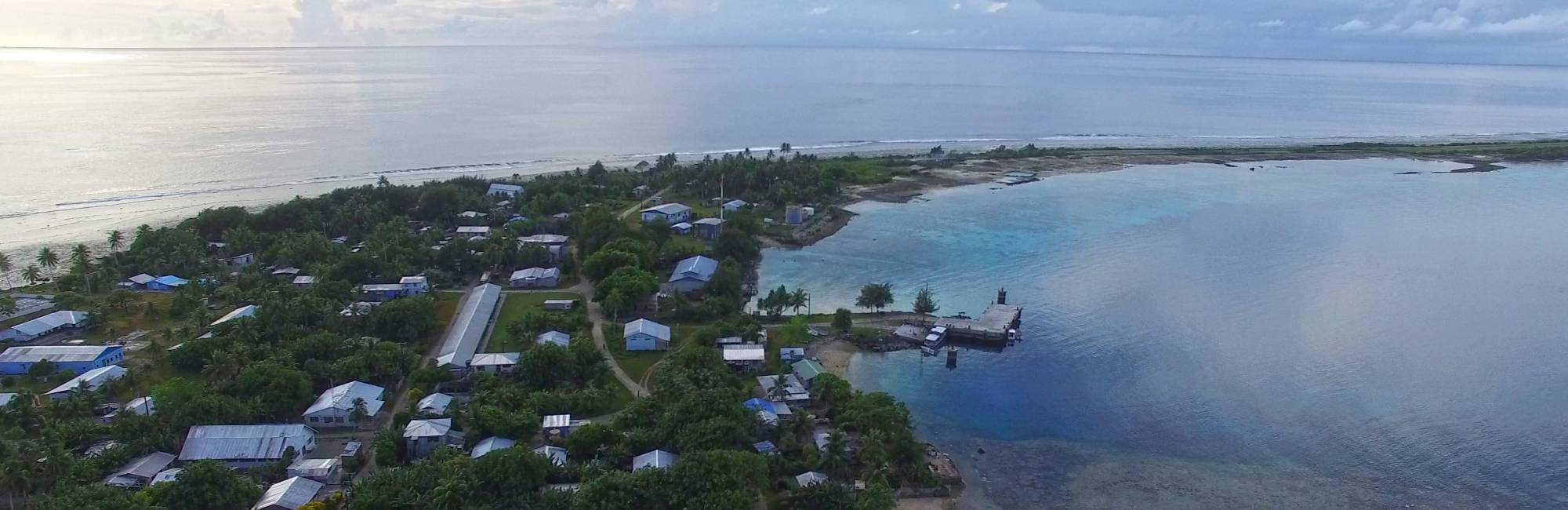
The first phase utilizes drone technology and photogrammetry software to create orthomosaics of small island settlements. This phase includes training of local stakeholders to operate drone equipment and manage data flow to secure a safe path of data from original acquisition to central storage and cloud based mainland backup.
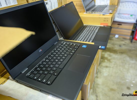
The second survey implements on the ground field surveys of buildings, infrastructure, local resources, and landscapes using tools like ArcGIS, Trimple and Stanley. Field survey applications will be used on tablet devices to conduct field surveys.
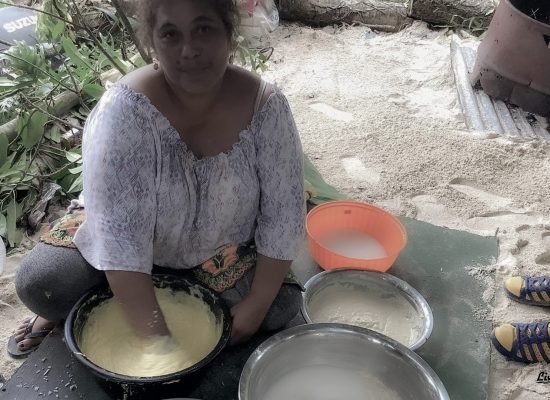
The third phase enacts a community action plan. Part of technical training is to empower community to create ‘live’ imaging of coastal changes, marine health, agricultural health, infrastructure changes, and impacts of human settlement and shifting construction practices on coastal erosion, fresh water depletion and agricultural health.
The data collected, including hi resolution orthomosaics, detailed and dimensioned building surveys, geocached landscape surveys, detailed infrastructure layouts, and detailed descriptions of all three areas will be imported into GIS to share with the national GIS database. The data will also be made available in the public domain to scientists in need of high resolution coastal imagery to monitor coastal stability and coral health.
In addition to the evident application of data for land use analysis and coastal monitoring, data collected will aid in cataloging Marshallese landscapes and built environment and the analysis of the data will aid in better preparing for the potential of resettlement in the future.
Summary
Program Title: Habitation Survey Project
Program Director: James Miller ([email protected])
Time Frame: September 2017 – December 2018
Involvement: Local Stakeholders, 2 experts/teachers, local students
Goals
- Enable local stakeholders to acquire data for base maps
- Enable local stakeholders to survey local resources
- Enable local stakeholders to “work data”
- Publicize data for the local and global community to use for analysis and planning
